PCT 2015 Day 98: Seiad Valley
- Start: 1,642.8
- End: 1,671.9
- Miles: 29.1 (minus about 3 for walking the dirt road instead of the trail)
- Camp: Cook and Green Pass
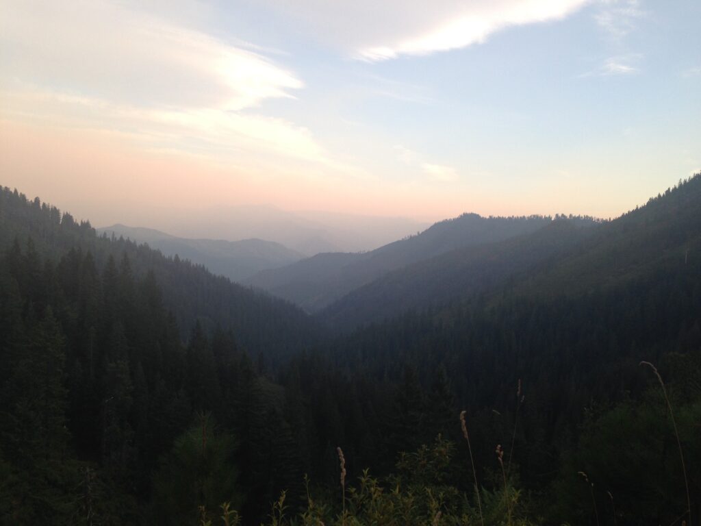
This morning was downhill all the way! The trail followed Grider Creek for almost its entire descent, only departing when it turned into a road walk for the last 6 miles before town. There was a ton of poison oak, and we had to be careful where we stopped for toilet and snack breaks.
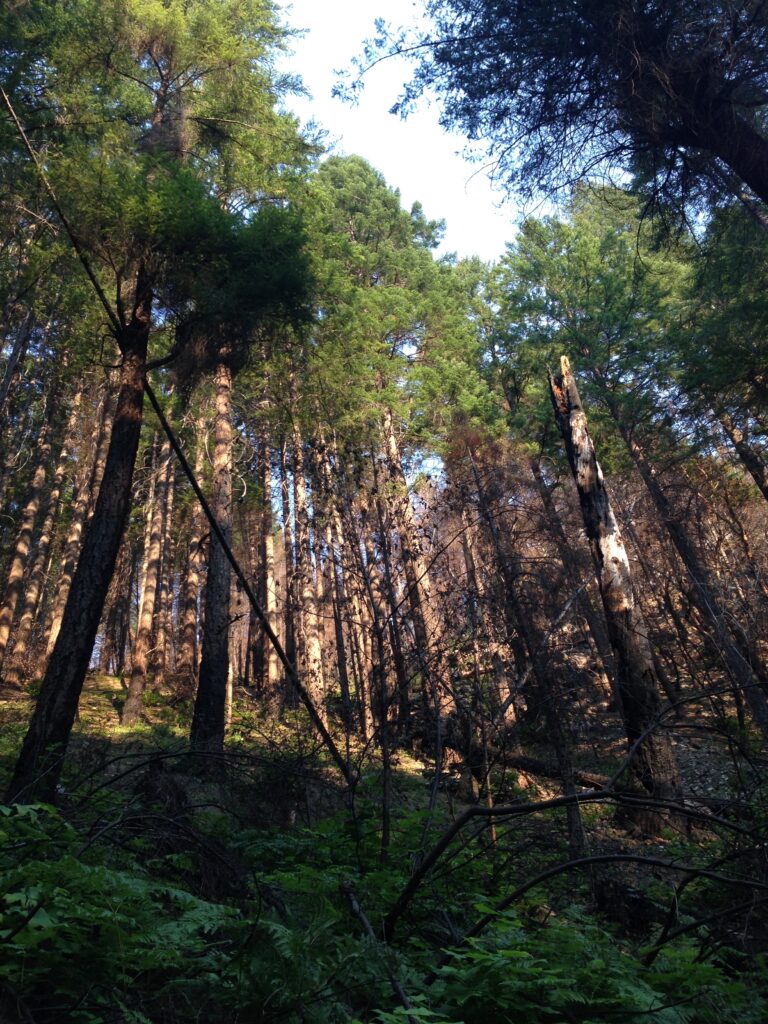
The forest had burned, and again the best view was upwards. It was interesting to track the progress of the fire by the state of the bridges across the creek. At the first crossing, the bridge was MIA. At the second, half of the bridge had been swept into the south shore whilst the north end remained connected to the bank. The third crossing had its bridge intact but there were signs everywhere saying it had been compromised and hikers should cross one at a time.
We were in town by 11am, and stopped to eat an early lunch at the surprisingly good cafe. We made a quick top up to the resupply and I made plans to meet a dear friend from the UK later that evening at the top of the hill. So we took a road walk out of town just after 3pm and made our way to Cook and Green Pass. It was slightly shorter than the trail and gave more options for water collection, plus more shade.
We met Mr E and Cookie at the water source at the trail junction, our fourth and fifth southbounders of the hike. As we were all pitching tents, a car pulled up the forest road we had walked up. It was a taxi! And out of it hopped my friend from home, who had decided on a taxi after a failed hitchhike from Ashland. Hurrah! Lots to catch up on.
Leave a Reply