PCT 2015 Day 54: Silver Pass
- Start: 872.4
- End: 891.8
- Miles: 19.4
- Camp: Virginia Lake
This morning started with a climb that was not quite a pass, but just as much effort. Bear Ridge gained a thousand feet of elevation in a mile and a half. I felt strong on the way up, barely stopping until we reached the top. It was switchbacked and fairly steady in gradient, with a good deal of shade in the cooler hours of the day. The way down was a different story. 2,000 feet in 2 miles, still steady and still switchbacked but much less interesting in terms of scenery. We walked through the forest on a skinny trail which rose sharply on the uphill side and dropped away on the downhill. I haven’t seen anything like that since the desert over 200 miles ago.
Before the next climb started we took a break at Mono Creek. There are lots of Mono names around here; Mono Lake with its striking rock formations is nearby and Mammoth Lakes is in Mono County. They are named after the Mono Native American people that lived here (and apparently now live in Madera County) who in turn are named for the fly larvae that used to form a staple of their diet; the neighbouring tribes called them “monachie” or “fly people”.
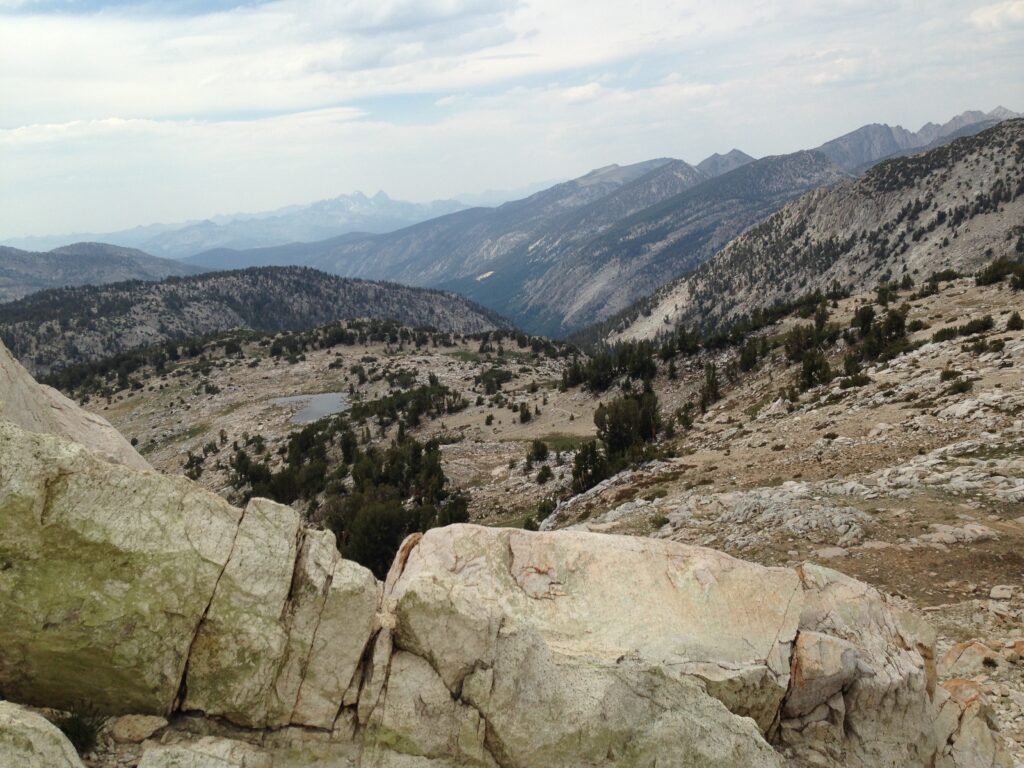
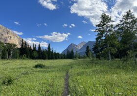
I found the late morning and the afternoon hard going. I hiked with an audiobook for most of it, paying little attention to the sparse forest and big rocks. The trail was a steady uphill climb, most of it in full sun which made it a slog. It wasn’t a hard trail as such, but I was tired and I felt the miles. I looked for milestones like the Silver waterfall and creek to mark my progress, but either missed them or they were unremarkable.
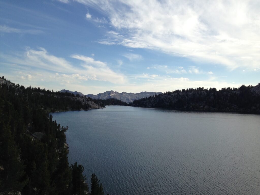
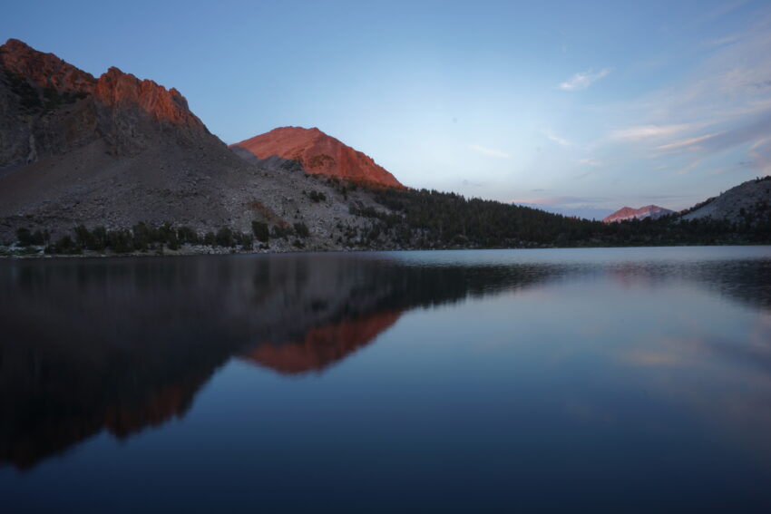
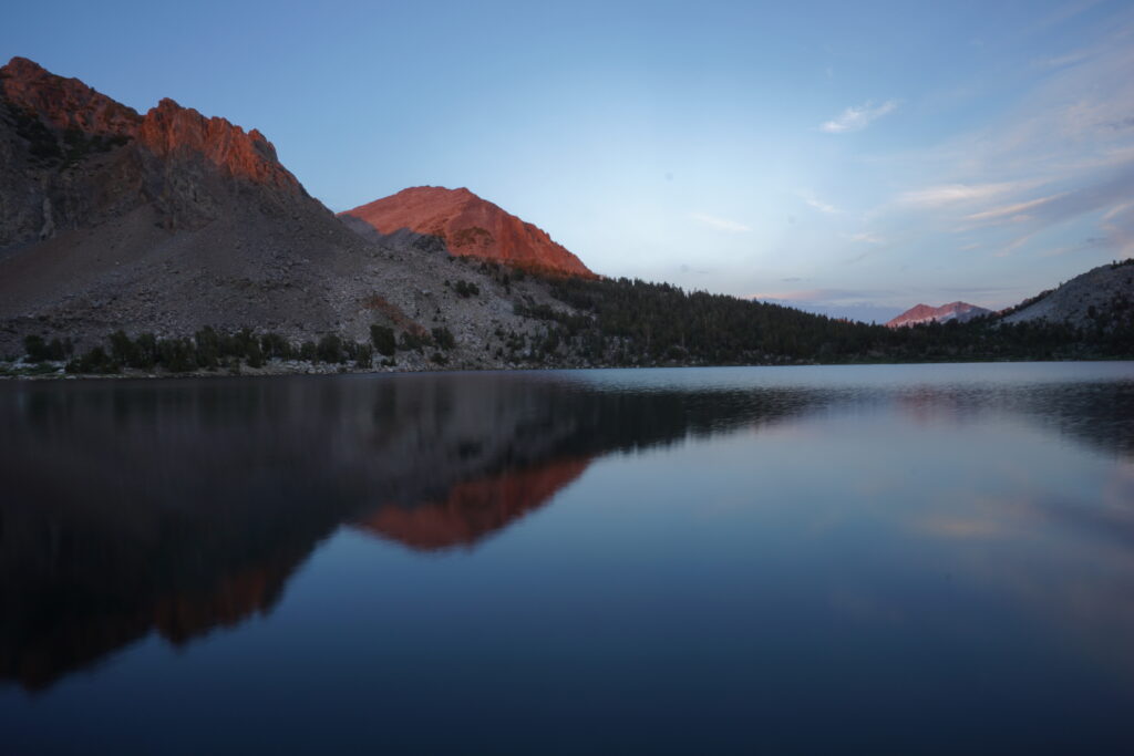
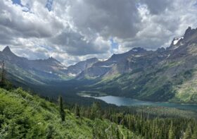
Silver Pass was around 14 miles into the day and I knew we still had a climb right at the end of the day into the campsite at Lake Virginia. I actually quite enjoyed that steady climb as the afternoon was cooling off, and my mood was improving as I approached the lake. The view in the early evening was incredible, and the setting sun lit up the mountains wonderfully.
We caught sight of Hands and Big Spoon camping nearby and caught up with their progress since we’d last seen them coming up Kearsarge Pass as we’d been heading down into Bishop. They have been doing 16 mile days, and after our back to back 20 milers I think that is sensible. Altitude makes for tough hiking and it’s just not possible to sustain the same mileage up here as it is a few thousand feet closer to sea level. Maybe we will budget a slightly lower mileage each day for the next leg of the hike, after Mammoth Lakes. That would be sensible.
Leave a Reply