PCT 2015 Day 46: Forester and Beautiful, Beautiful Kearsarge
- Start: 775.0
- End: 789.1
- Miles: 14.1 + 7.5 Kearsarge Trail
- Camp: Bishop
This morning I was feeling much better although still not 100% and looking forward to getting to town. That meant 15 miles over Forester Pass, the highest point on the PCT, and Kearsarge Pass with a 7.5 mile side trail down to a trailhead with a car park and a further 13 miles of road down to the main highway. Big day.
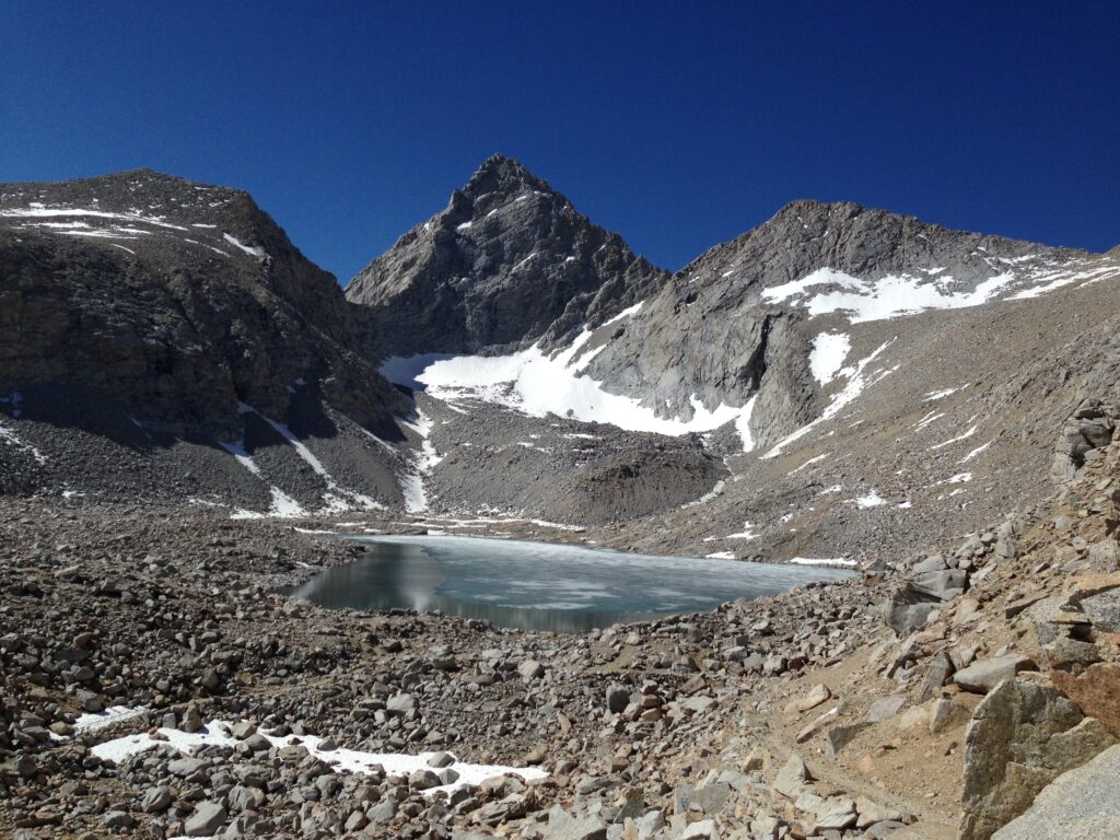
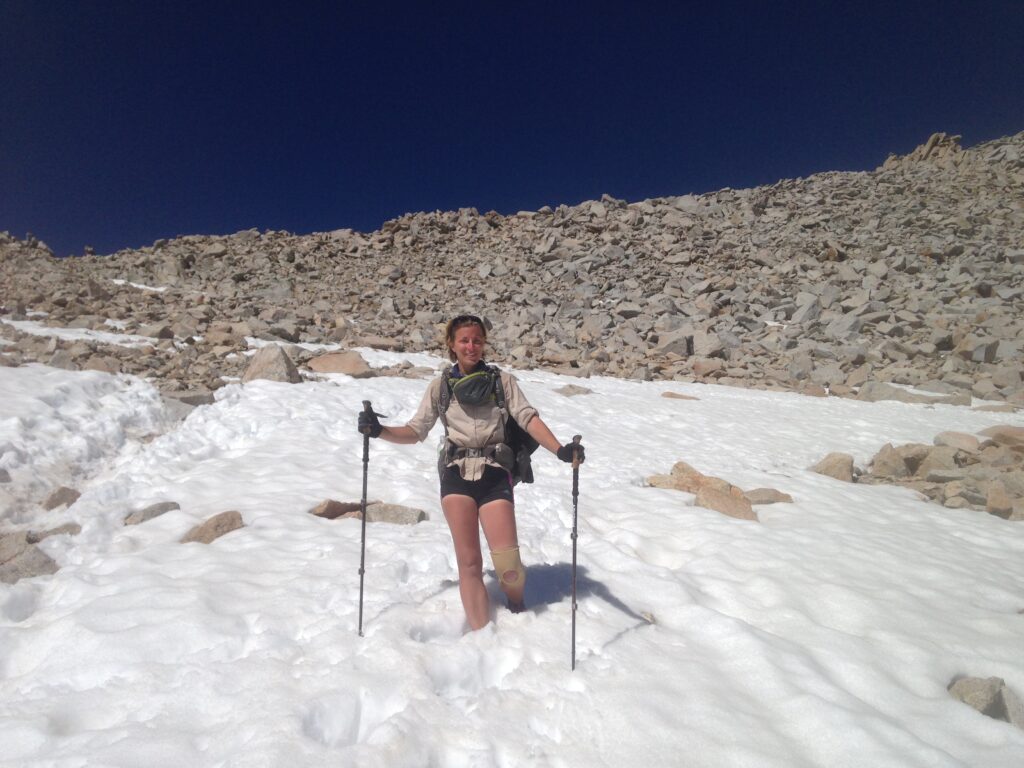
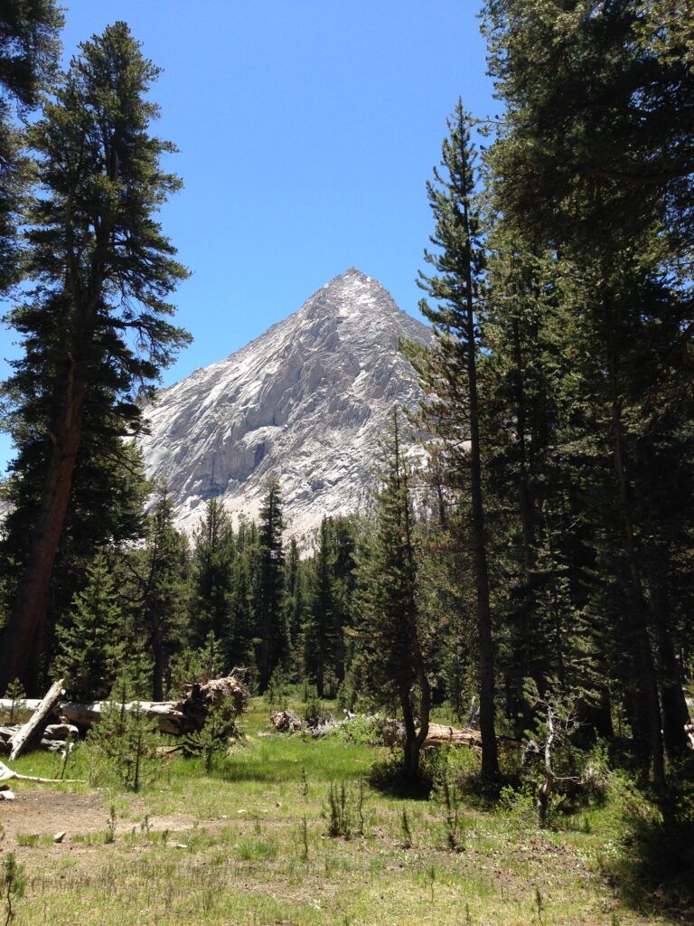
Forester Pass is usually intimidating, with a snow chute near the top that is hard and icy and terrifying. Luckily it was much easier than expected, due to the low levels of snow this year. There was a perfectly passable trail, although it was possible to see how scary it would be in the snow with the trail obliterated and a sheer drop down on the left hand side.
At the top there were several people resting after their ascent; a bunch of John Muir Trail (JMT) hikers and a couple of PCT hikers. The JMT overlaps with the PCT for most of its 210-mile length. There’s a section to the summit of Mount Whitney that is in the JMT and not the PCT which I have now done, and another section into Yosemite Valley which I would like to do when I get there. JMT-ers usually head southbound, finishing at Mount Whitney so we will likely meet many more of them each day than PCT hikers in this next section.
We met a man from Google maps at the top of the pass with an attitude that made my day. He was a cheerful JMT-er managing to make it work without a JMT permit. He had driven to Tuolumne Meadows and found a combination of 2-3 permits that allowed him to hike all sections of the JMT. He had lots of useful info about the trail ahead (for us) and the conditions we’d encounter.
Because the JMT is signed for southbounders, some of the signs are not immediately visible coming from the south. The section immediately before the Kearsarge Lakes turnoff was such a junction – the JMT actually turned sharply right (for NOBOs) and up a steep hill, but we met several people who had hiked 3-4 miles straight on and down a hill and had to hike back before the steep ascent. I’m glad I take the time to look at all the signs even when they’re facing the wrong way or I’m not expecting a junction.
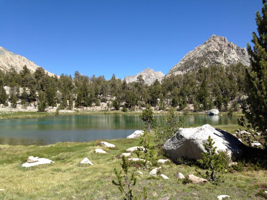
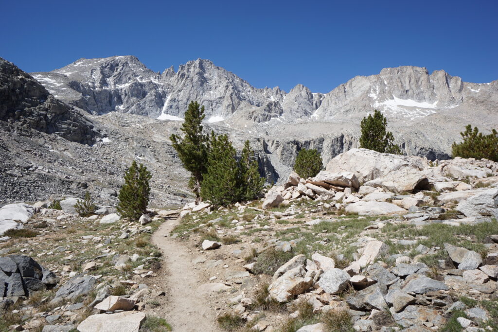
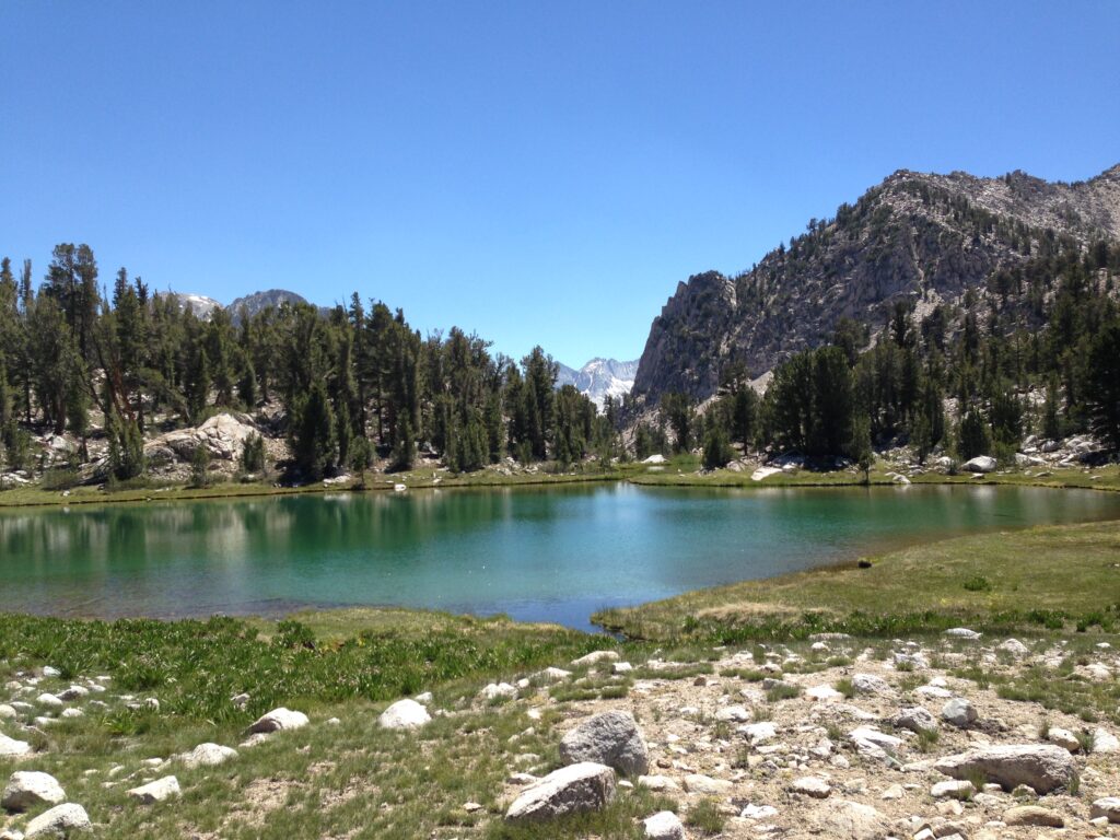
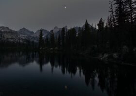
Once we reached the Kearsarge trail, we were treated to some of the most beautiful scenery yet. Alpine lakes, tree-covered slopes and an imposing granite backdrop.

Once we’d passed through the lakes section though, we had a hard, hot and exposed climb which hurt a lot and made me aware I’m still not recovered from my sickness, which I’m now attributing to acute mountain sickness (altitude sickness or AMS). It was only 2-3 miles but I was glad when I got to the top of the pass. We ran into Mama Goose’s gang, which is moving much more slowly than us. Maybe 20% slower. She is an older lady who never says much but just keeps going. I’m impressed by the variety of people out here and their determination to accomplish their goals.
Downhill took forever. I think it was the anticipation of town. I knew we would arrive at the car park quite late (maybe 6pm-6:30) and our best chance of a ride down the 13 mile road to the highway would come from day hikers. So on the way down I talked to every day hiker I met and tried to appear non-threatening (hard, given the smell of me at this point), and desperate for a ride. We met a trio from Bishop, where we were headed and I told them about my pack envy. After several days carrying a 20+ lb pack, I am always envious of the people out with nothing but a water bottle and a couple of snacks. As it happened, when we arrived at the car park, Bad Camper and Double Step were just getting out of a car on their way back from Independence. They hadn’t been so sick so had gained a day on us. But their ride up offered to drop us at the Independence junction on their way back!
When we reached Independence at 6:30, we were starving and headed straight across the street to Subway (the only real option in the tiny town of Independence) to get a sandwich before trying for a hitch. It may have been the slowest Subway in the world, and it took us 45 minutes to get a sandwich. 45 minutes! At that point we were not hopeful of being able to get a ride 40 miles down the road to Bishop, it being so late, but we had to try. The sheriff drove past I the opposite direction before we noticed him approaching, but gave us a wave to let us know he wasn’t going to give us a ticket for hitchhiking. It’s not technically legal in California. Thankfully the hiker-friendly communities turn a blind eye.
Eventually a guy turned up in a “motobulance”, a truck he had decked out as transportation for his son’s motocross bike. We sat in the back with 2 JMT hikers, 2 dogs, a bike and various bike accoutrements. He was on his way to Mammoth, where there is a big competition coming up and has hitched this road before so knows how tricky it can be. The people we meet out here are amazing.
Leave a Reply