PCT 2015 Day 45: Paying for Whitney
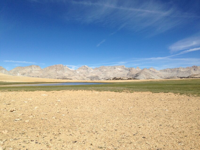
- Start: 769.2
- End: 775.0
- Miles: 5.2 + 1.5 to ranger station
- Camp: Tyndall Creek
So Whitney kicked my butt good and proper. In the middle of the night I was pretty sick, as was Chug. I filter my water religiously and try to keep my hand sanitizer around so as not to get bugs, so I don’t feel it is an infection. I think I just overdid it stomping 18 miles up Whitney in the high alpine sun and forgetting about water and sunscreen.
The day’s plan had been to get up and over Forester Pass, the highest point on the whole PCT, but it soon became clear that wasn’t going to happen. We picked out a ranger station just over 5 miles away on the map, and headed for that. We didn’t want medical help, just a better map to see if there was a trail which would get us into town today rather than heading up Forester. As luck would have it, we found Rob Pielowski, the Crabtree ranger, at the Tyndall station having just met with the mule train to take delivery of the summer’s supplies for the ranger who will staff that station. If we’d gone to Crabtree we would have missed him, and any other day the station would have been empty at this point in the season. He told us there was a trail before Forester but that it was 15 miles to the trailhead which isn’t well used so it would likely be another 4 miles of road walk to spit us out at Onion Valley, exactly where we were heading anyway. The Forester/Kearsarge trail is only 20 miles and involves less climbing (though higher altitude) so we decided to rest for a day and continue as planned. Rob gave us Gatorade powder to allow us to replenish salts more quickly and told us where we could find the next ranger station (Charlotte Lakes) if things got worse.
I rested for the afternoon, chasing the shade round the campsite. My hips were painful and I didn’t sleep much but by evening I was feeling slightly better. Not better enough to hike any further, so we stayed put for the night. Forester Pass tomorrow though.
Leave a Reply