PCT 2015 Day 144: Suiattle River and Cloudy Pass
- Start: 2,534.2
- End: 2,565.0
- Miles: 30.8
- Camp: Cedar Camp
I was sitting with my coffee looking out at the sunrise over the distant mountains when I heard NightShip shouting at the top of his lungs the words “I’m shouting at the top of my lungs”. Question being, why on earth?? It’s 7:30am and you’re destroying the serenity of the wilderness already. Gah. Rebo’s group is bugging me.
The trail was fairly easy this morning, tracking 8 miles downhill to the Suiattle River. The old PCT heads over the river earlier and a fallen log takes the place of the washed out bridge. However I had had some issues with slippery creek crossings the last couple of days so didn’t fancy my chances on a slimy log 20ft above a raging river the size of the Suiattle. I took the new PCT route to a new bridge a couple of miles downstream. The trail was easy and I was fast, in part because the dark and damp forest was playing tricks with my imagination. The moss covering the fallen logs muffles sound in a peculiar way and I could picture imaginary creatures, elves and witches hiding in the undergrowth.
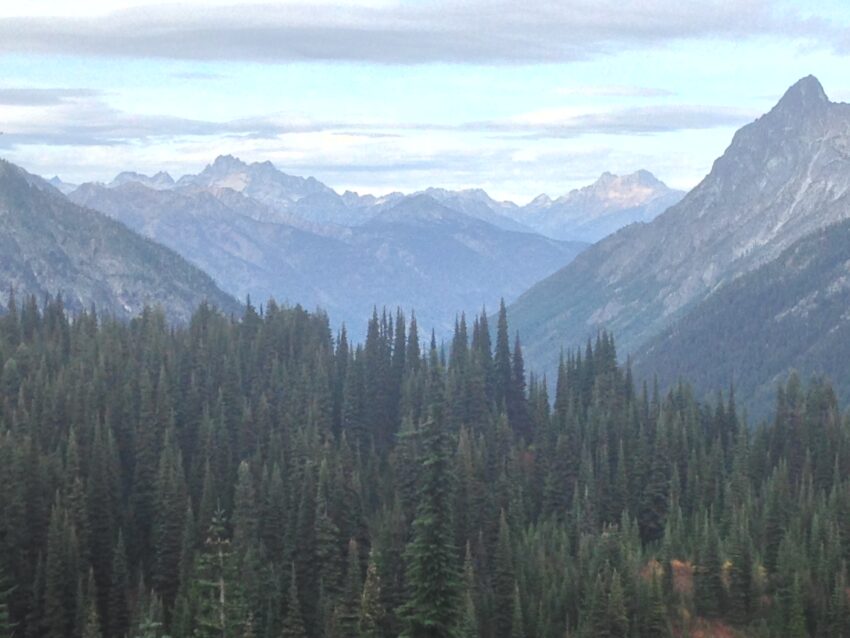
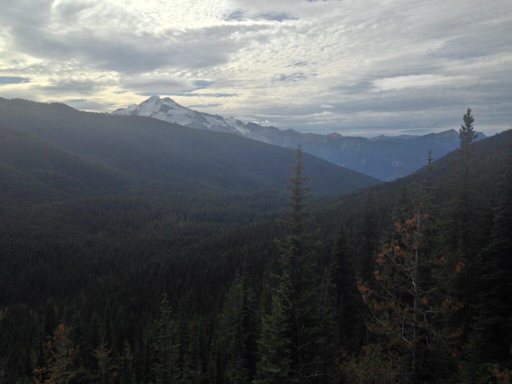
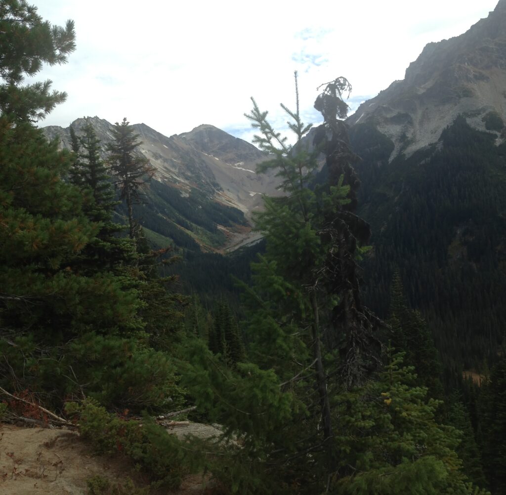
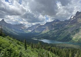
At the Suiattle River, the trail turned uphill for 10 miles again largely through dense forest. However once I neared the top, at Suiattle Pass, there were gaps in the trees where I could see out towards the glaciers. This part of the trail was closed until recently due to fire and a number of the side trails are still closed.

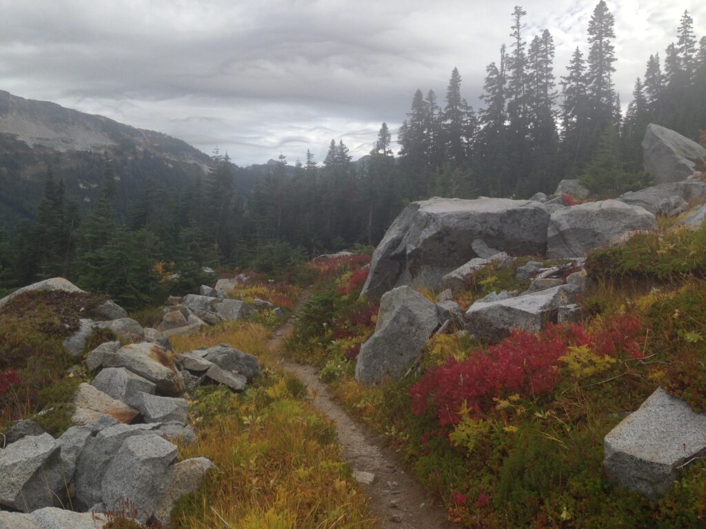
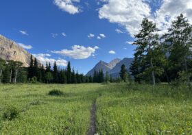
The day finished with 10 miles of downhill to camp. As well as open rocky stretches where I could see pikas and marmots, I passed through some hateful blackcurrant type bushes. They’re tall and ugly, and happen to have sharp sturdy stalks that whip my legs and tear at my clothes. They’re also wet which means my clothes are wet too.
As I got closer to Agnes Creek, I noticed the smell of burning from, I assume, the Blankenship Fire which burned for months and closed the trail. However I was deep in the woods and couldn’t see any sign of burned trees.
I had had my eye on a campsite at around 26 miles, but the guidebook said that in 2014 there had been a sign saying that it was unsafe to camp there due to falling trees. I figured if the sign was still there, I’d hike on a bit and get to the next campsite. The clouds were starting to roll in, and though there were patches of blue sky ahead the clouds behind looked darker and more menacing. I arrived at Cedar Camp and as I was placing the last of the tent pegs, it started to sprinkle with rain. I tossed the whole pack inside the tent, dived in after it and zipped up. Everything stayed dry. Go me.
Leave a Reply